With Senus, you can access frontline software that transforms complex environmental challenges into actionable insights and gain a comprehensive view of land health, resource utilisation, and long-term sustainability.
Forecasting Environmental Health and Risk Measures for your Loan Book, Supply Chain, Farm and More
Monitoring environmental health and risk measures for your loan book, supply chain, farm and more. Senus ERA integrates multiple water, biodiversity, pollution, soils and climate datasets specific to your farm or supply chain to derive insights that will forecast environmental health and risk status long into the future.
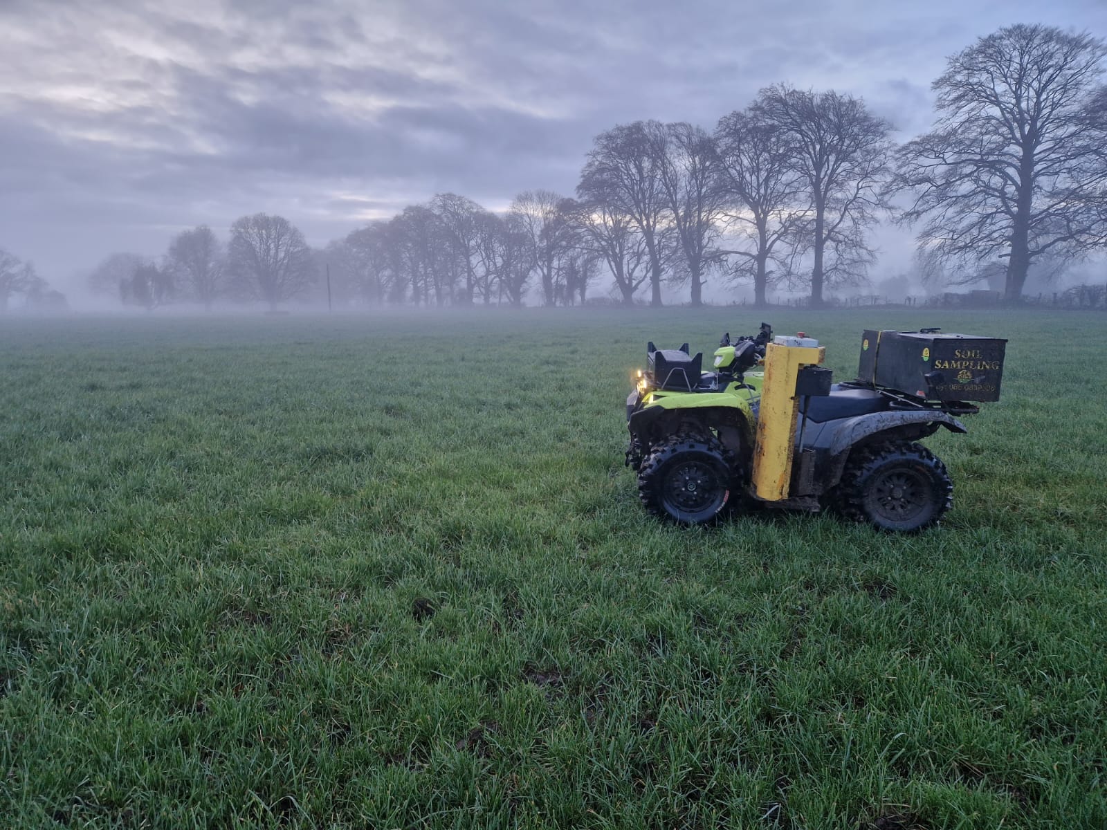
The Senus Soil agronomy technology is powered by a full campaign management system, allowing companies to seamlessly coordinate large-scale soil sampling programmes with ease. This tool also enables large-scale soil carbon programmes to be conducted with protocol adaptability and high levels of traceability.